
Multiple Usage, High Accuracy. Fixed-wing UAV A22 series is a ideal solution for topographic survey, contruction survey and monitoring, law action.
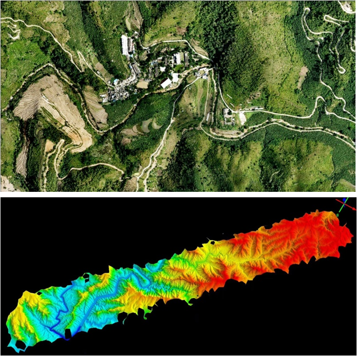
To survey and map a ribbon-type land, fixed wing UAV is more efficient than multi-rotor UAV. Typical application: power lines, road and railway, energy pipe.
The absolute accuracy with GCPs can reach 1cm(H)/ 3cm (V) for A22plus and 2cm(H)/ 5cm(V) for A22. |
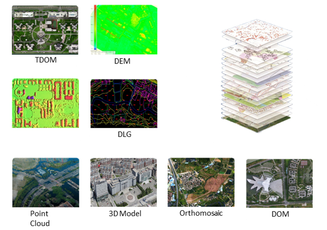
Data Result After a flight, user can get raw data of photo and POS file. After processing, Mosaic map, DSM, DEM, DOM, DLG, Point Cloud, 3D model can be generated. |